
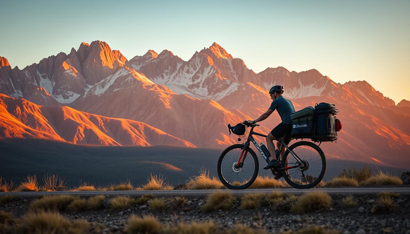
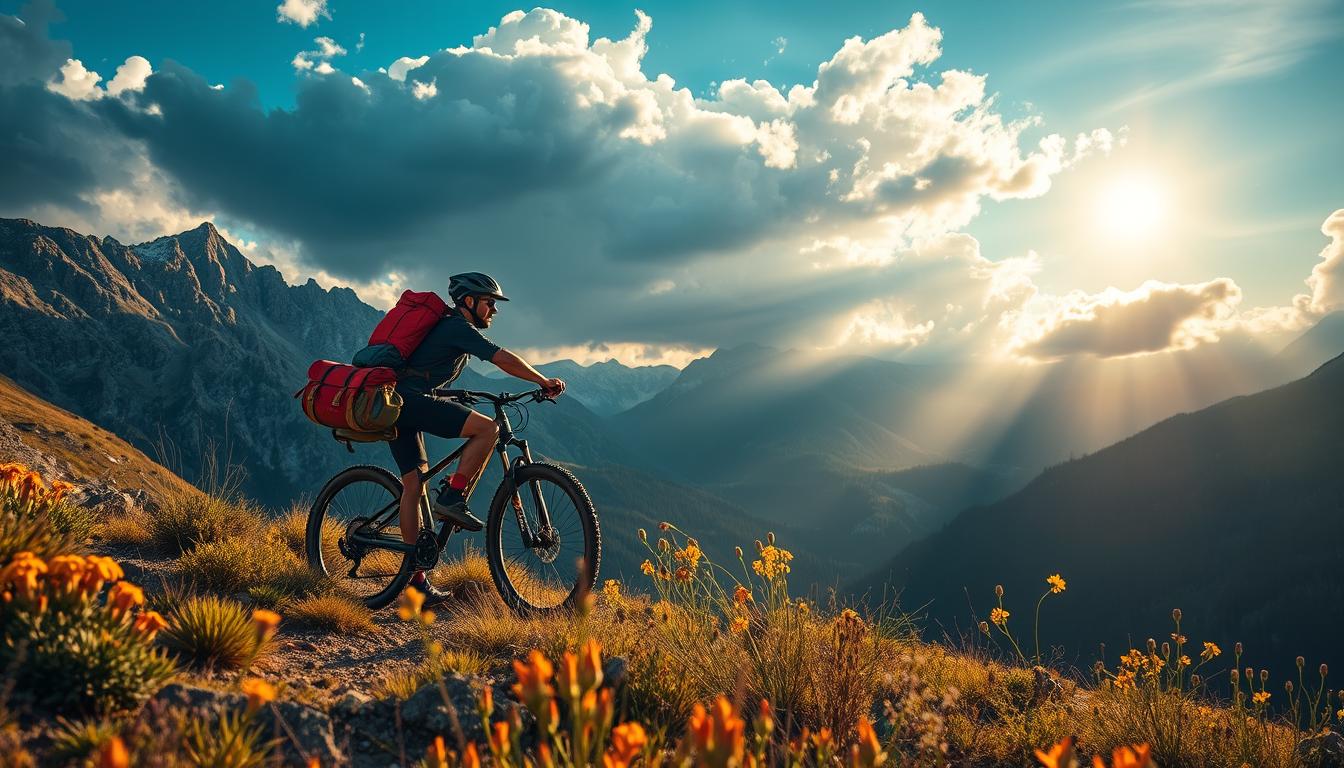
Bikepacking has transformed how cyclists experience America's diverse landscapes, combining the freedom of cycling with the adventure of multi-day backcountry exploration. From desert singletrack to mountain passes and coastal gravel, the United States offers an incredible variety of bikepacking routes for every skill level and preference. In this comprehensive guide, we'll explore ten of the most spectacular bikepacking routes across the U.S., complete with essential details and gear recommendations to make your journey unforgettable.
1. Great Divide Mountain Bike Route
The Great Divide Mountain Bike Route (GDMBR) stands as the crown jewel of bikepacking in North America. Following the Continental Divide from Canada to Mexico, this epic journey takes riders through five states and some of the most breathtaking landscapes in the country.
Route Details
- Terrain: Primarily gravel roads and forest service tracks (90% unpaved)
- Distance: 2,700 miles (4,345 km)
- Difficulty: Expert
- Elevation Gain: 200,000 feet (60,960 meters)
- Best Season: June to September (to avoid snow at higher elevations)
Key Highlights
- Cross the Continental Divide more than 30 times
- Experience the remote wilderness of Montana's Bob Marshall Wilderness
- Traverse Colorado's high mountain passes
- Explore New Mexico's high desert landscapes
- Encounter abundant wildlife including elk, moose, and bears
Ready to tackle this legendary route? Download the complete GPX file to start planning your adventure.
Download GPX File
2. Arizona Trail
The Arizona Trail (AZT) offers a challenging but rewarding north-south journey through the diverse ecosystems of Arizona. From the Sonoran Desert's iconic saguaro cacti to the alpine forests of the Colorado Plateau, this route showcases the state's remarkable biodiversity.
Route Details
- Terrain: Singletrack (70%), doubletrack and dirt roads (30%)
- Distance: 800 miles (1,287 km)
- Difficulty: Expert
- Elevation Gain: 110,000 feet (33,528 meters)
- Best Season: Spring (March-May) or Fall (September-November)
Key Highlights
- Cross the Grand Canyon (requires carrying your bike)
- Ride through the otherworldly Sonoran Desert landscape
- Experience the cool pine forests of the Mogollon Rim
- Visit historic mining towns and archaeological sites
- Enjoy spectacular stargazing in dark sky areas
The Arizona Trail presents unique challenges and rewards. Get the complete route data to prepare properly.
Download GPX File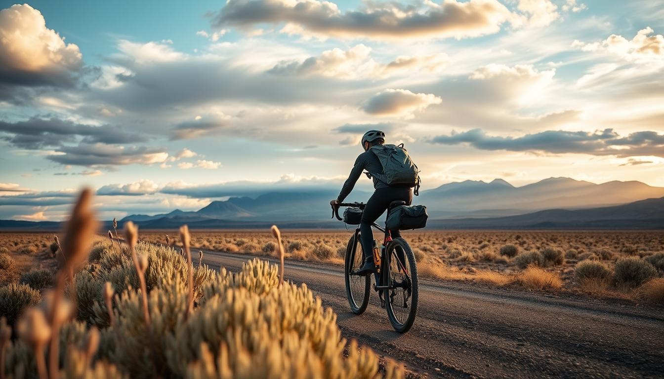
3. Oregon Outback
The Oregon Outback route takes riders through the less-traveled eastern side of Oregon, showcasing the state's remarkable geographic diversity. From the lush Cascade Range to the high desert plateaus, this route offers solitude and stunning landscapes in equal measure.
Route Details
- Terrain: Gravel roads, forest service roads, and some pavement
- Distance: 360 miles (580 km)
- Difficulty: Intermediate
- Elevation Gain: 20,000 feet (6,096 meters)
- Best Season: May to September
Key Highlights
- Ride the OC&E Woods Line State Trail, Oregon's longest linear park
- Cross the Fort Rock Basin, an ancient lakebed
- Experience the remote Fremont National Forest
- Visit small, welcoming communities like Silver Lake and Paisley
- Enjoy spectacular views of volcanic peaks in the Cascade Range
The Oregon Outback offers a perfect introduction to multi-day bikepacking. Get the route data now.
Download GPX File
Essential Gear for Desert and High Country Routes
The routes we've explored so far traverse challenging desert and high-elevation terrain. Here's the gear you'll need to tackle these environments safely and comfortably.
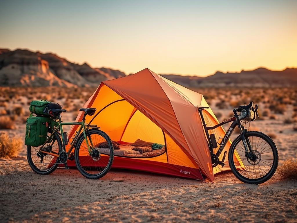
Big Agnes Copper Spur HV UL2 Bikepack
This specialized bikepacking tent features shorter pole segments that pack down to just 12 inches, making it perfect for handlebar or frame bag storage. With 29 sq ft of floor space and a trail weight of just 2 lbs 11 oz, it offers the ideal balance of livability and packability for desert adventures.
- Shorter pole segments for bike-friendly packing
- Excellent ventilation for hot desert nights
- Durable construction withstands high winds
- Quick setup for when storms roll in
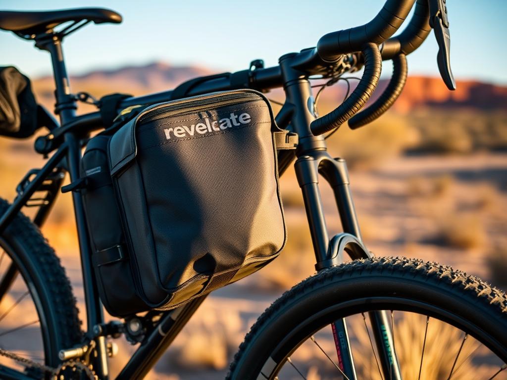
Revelate Designs Ripio Frame Bag
The Ripio frame bag maximizes your bike's storage capacity while maintaining excellent handling characteristics. Its water-resistant construction and multiple compartments make it ideal for carrying heavy items like water reservoirs, tools, and food—essential for long stretches between resupply points in desert regions.
- Custom-fit options for various frame sizes
- Water-resistant YKK zippers
- Internal divider for organization
- Abrasion-resistant exterior
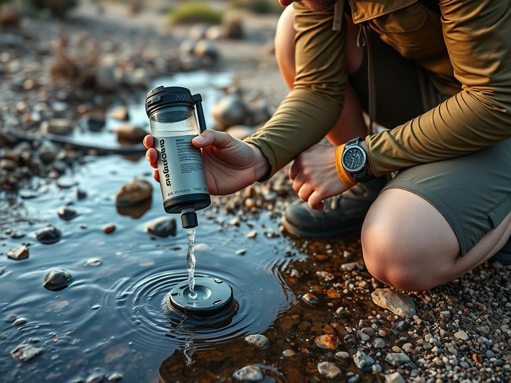
MSR Guardian Water Purifier
When bikepacking through desert regions, reliable water purification becomes critical. The MSR Guardian removes viruses, bacteria, protozoa, and particulates from virtually any water source. Its self-cleaning design prevents clogging, even with silty desert water sources.
- Filters 2.5 liters per minute
- Self-cleaning during operation
- Withstands freezing temperatures
- 10,000+ liter lifetime
4. The Colorado Trail
The Colorado Trail offers some of the most spectacular high-altitude riding in the United States. Traversing the Rocky Mountains from Denver to Durango, this challenging route rewards riders with breathtaking alpine scenery, wildflower meadows, and technical singletrack.
Route Details
- Terrain: Singletrack (70%), doubletrack and forest roads (30%)
- Distance: 535 miles (861 km)
- Difficulty: Expert
- Elevation Gain: 89,000 feet (27,127 meters)
- Best Season: July to September
Key Highlights
- Ride above 13,000 feet on multiple occasions
- Cross the Continental Divide numerous times
- Experience six wilderness areas (bike detours required)
- Enjoy spectacular wildflower displays in summer
- Visit historic mining towns like Breckenridge and Silverton
The Colorado Trail requires careful planning and preparation. Get the complete route data to start your journey.
Download GPX File
5. Arkansas High Country Route
The Arkansas High Country Route showcases the surprising diversity and challenge of the Ozark and Ouachita Mountains. With constant climbing and descending through dense forests and past crystal-clear streams, this route has earned Arkansas its growing reputation as a gravel cycling paradise.
Route Details
- Terrain: Gravel roads (60%), paved backroads (30%), singletrack (10%)
- Distance: 1,200 miles (1,931 km) for full loop
- Difficulty: Intermediate to Expert
- Elevation Gain: 80,000 feet (24,384 meters)
- Best Season: Spring (April-May) or Fall (September-November)
Key Highlights
- Explore three distinct loops that can be ridden separately
- Visit 10 state parks and 9 river valleys
- Experience the challenging terrain of the Ozark and Ouachita Mountains
- Discover small Ozark towns with southern hospitality
- Cool off in pristine swimming holes along the route
The Arkansas High Country Route can be tackled as one epic journey or as separate loops. Get the route data to plan your approach.
Download GPX File6. Idaho Hot Springs Mountain Bike Route
The Idaho Hot Springs Mountain Bike Route combines challenging riding with the unique reward of natural hot springs. Winding through the remote central mountains of Idaho, this route offers the perfect balance of adventure and relaxation as you soak your tired muscles in therapeutic thermal waters after a day of riding.
Route Details
- Terrain: Forest roads (70%), singletrack options (20%), paved roads (10%)
- Distance: 518 miles (834 km) main route
- Difficulty: Intermediate
- Elevation Gain: 56,000 feet (17,069 meters)
- Best Season: July to September
Key Highlights
- Access to over 50 hot springs of varying development
- Optional singletrack loops for additional challenge
- Ride through the stunning Sawtooth Mountains
- Visit historic mining towns like Idaho City and Stanley
- Experience the remote Boise and Salmon-Challis National Forests
Ready for the perfect combination of adventure and relaxation? Get the Idaho Hot Springs route data now.
Download GPX FileEssential Gear for Mountain and Forest Routes
The mountain and forest routes we've explored present unique challenges including variable weather, technical terrain, and remote locations. Here's the specialized gear you'll need for these environments.
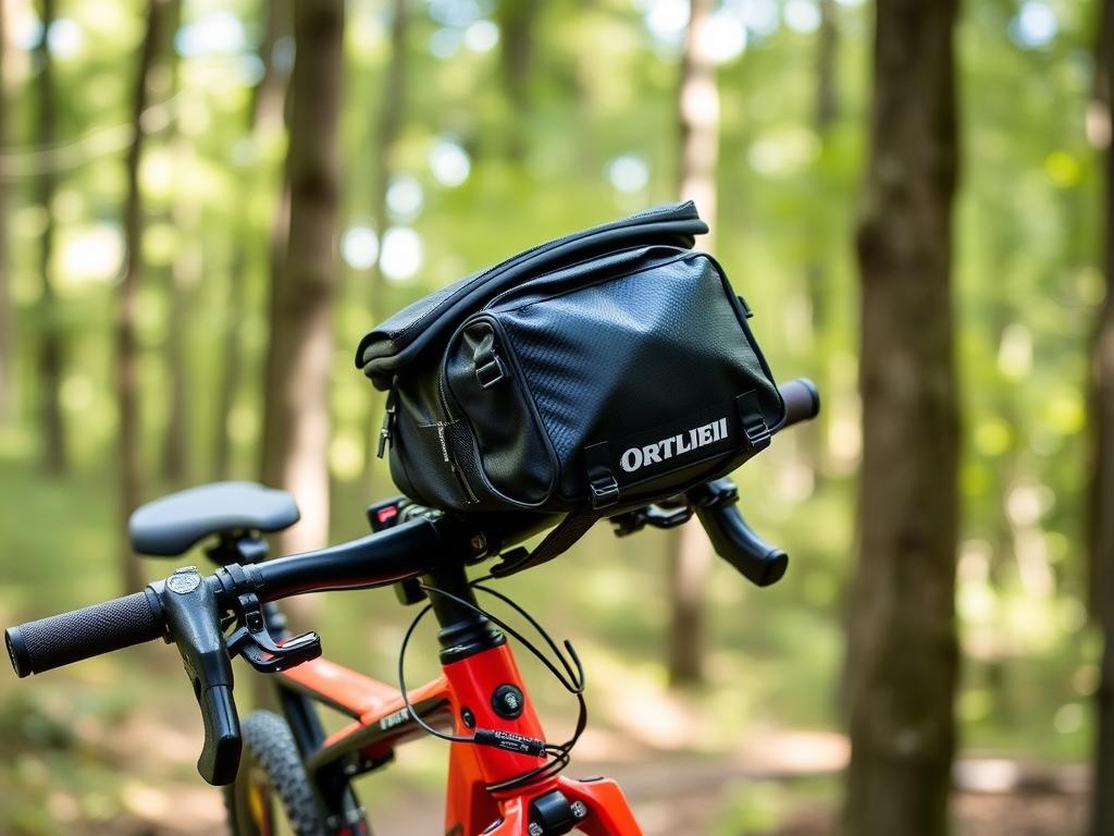
Ortlieb Handlebar-Pack
When riding through mountain environments where rain is common, waterproof storage becomes essential. The Ortlieb Handlebar-Pack offers 100% waterproof protection with 15L of storage capacity. Its roll-top closure and welded seams ensure your sleeping bag and extra layers stay dry even in prolonged downpours.
- 100% waterproof construction (IP64 rated)
- Stable mounting system reduces bounce
- External compression straps
- Reflective elements for visibility

Western Mountaineering UltraLite Sleeping Bag
Mountain environments demand high-quality sleep systems that can handle cold nights. The Western Mountaineering UltraLite offers exceptional warmth-to-weight ratio with 850+ fill power down insulation. Rated to 20°F (-6°C), it provides crucial warmth for high-elevation camps while compressing small enough for bikepacking.
- Weighs just 1 lb 13 oz (822g)
- Continuous baffle construction
- Full-length #5 YKK zipper
- Made in USA with ethically sourced down

Garmin InReach Mini 2
When bikepacking through remote mountain terrain, emergency communication can be lifesaving. The Garmin InReach Mini 2 provides two-way text messaging, SOS functionality, and location sharing via the Iridium satellite network—all in a compact 3.5 oz package that easily fits in a jersey pocket.
- Two-way text messaging anywhere
- Interactive SOS with 24/7 monitoring
- Weather forecasts and navigation
- Up to 14 days battery life in tracking mode
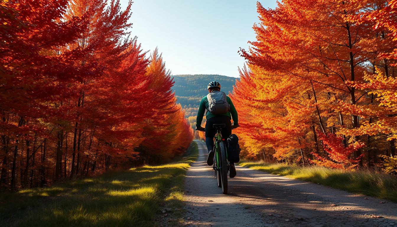
7. Vermont Green Mountain Loop
The Vermont Green Mountain Loop showcases the quintessential New England landscape of covered bridges, quaint villages, and rolling hills. This route combines the state's extensive network of dirt roads with sections of the Green Mountain National Forest for a perfect mix of challenge and charm.
Route Details
- Terrain: Dirt roads (70%), forest roads (20%), paved roads (10%)
- Distance: 310 miles (499 km)
- Difficulty: Intermediate
- Elevation Gain: 30,000 feet (9,144 meters)
- Best Season: June to October (September for fall foliage)
Key Highlights
- Ride Vermont's famous network of maintained dirt roads
- Visit historic covered bridges throughout the route
- Experience charming New England villages
- Spectacular fall foliage in September
- Sample Vermont's renowned craft beer and farm-to-table cuisine
Experience the charm of rural New England on two wheels. Get the Vermont Green Mountain Loop route data.
Download GPX File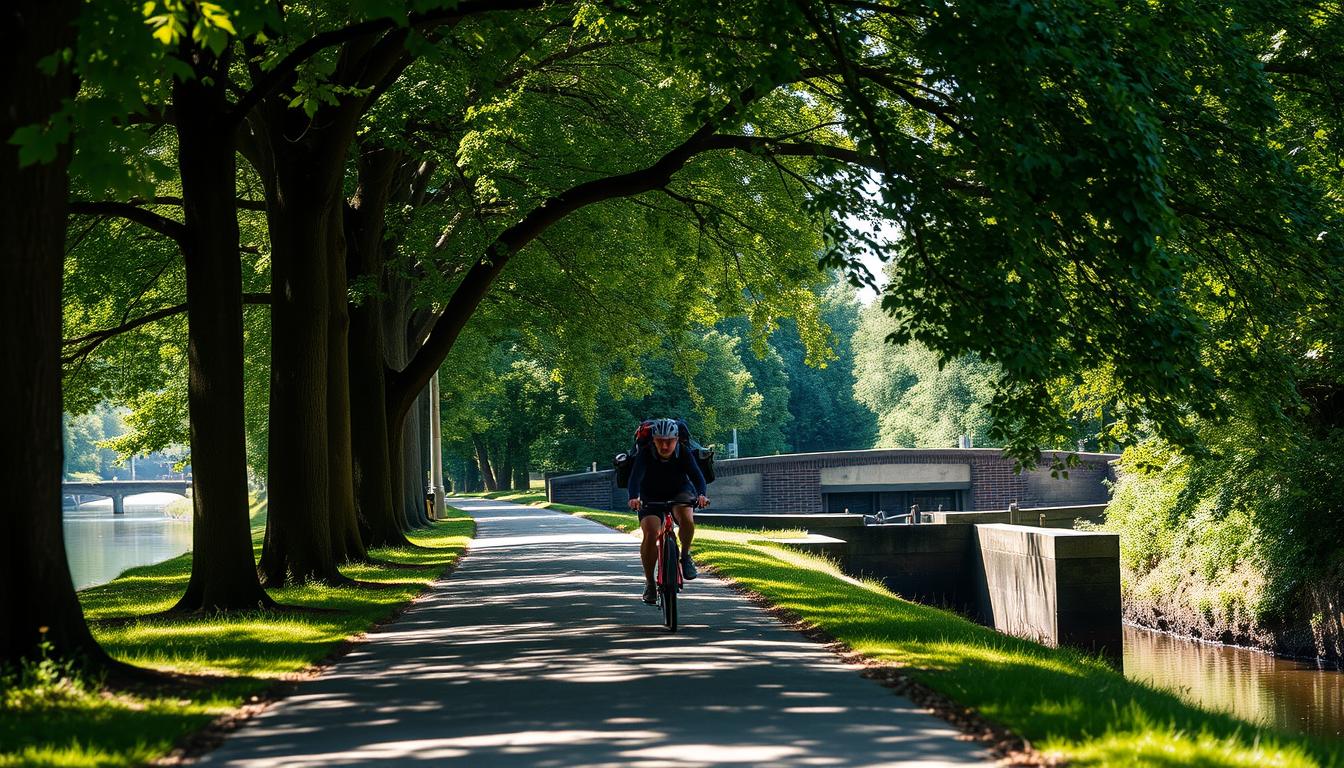
8. C&O Canal Towpath and Great Allegheny Passage
This historic route combines the C&O Canal Towpath and Great Allegheny Passage (GAP) to create a car-free journey from Washington, DC to Pittsburgh. Following old canal towpaths and converted rail trails, this beginner-friendly route offers a perfect introduction to bikepacking with reliable surfaces and frequent amenities.
Route Details
- Terrain: Crushed limestone paths and rail trails
- Distance: 335 miles (539 km)
- Difficulty: Beginner
- Elevation Gain: 8,500 feet (2,591 meters)
- Best Season: April to November
Key Highlights
- Ride through American history from the nation's capital
- Cross the Eastern Continental Divide
- Visit Harpers Ferry and other historic sites
- Experience the engineering marvel of the C&O Canal
- Enjoy dedicated campsites along the entire route
This beginner-friendly route is perfect for your first bikepacking adventure. Get the complete route data.
Download GPX File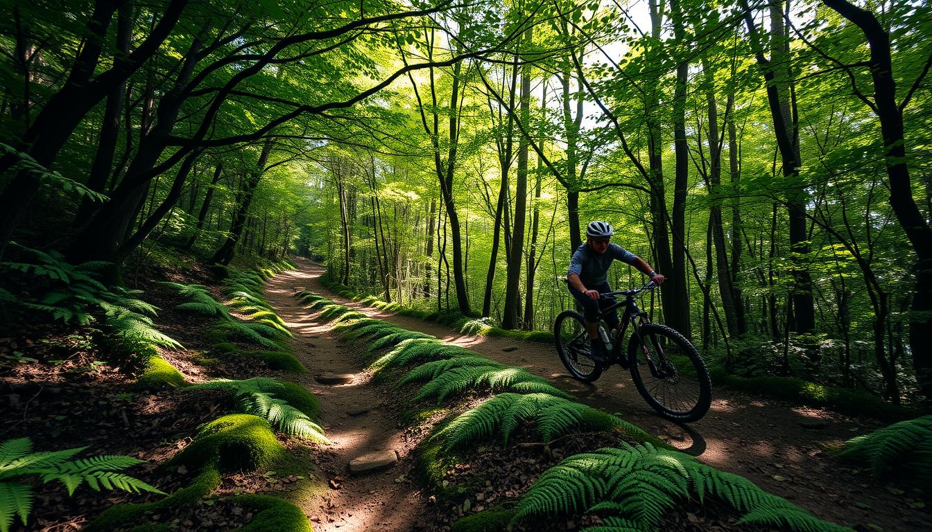
9. Trans-North Carolina (Trans-NC)
The Trans-North Carolina route traverses the state from the mountains to the sea, showcasing the remarkable geographic diversity of North Carolina. Beginning in the technical singletrack paradise of Pisgah National Forest and ending at the Atlantic Ocean, this route offers a complete cross-section of the state's varied landscapes.
Route Details
- Terrain: Singletrack (30%), forest roads (40%), rural paved roads (30%)
- Distance: 550 miles (885 km)
- Difficulty: Intermediate to Expert
- Elevation Gain: 50,000 feet (15,240 meters)
- Best Season: April to June or September to November
Key Highlights
- Experience world-class singletrack in Pisgah National Forest
- Traverse the rolling Piedmont region
- Explore the unique ecology of the Sandhills
- Visit historic small towns throughout the state
- Finish with a refreshing swim in the Atlantic Ocean
Experience the diversity of North Carolina from mountains to sea. Get the Trans-NC route data.
Download GPX File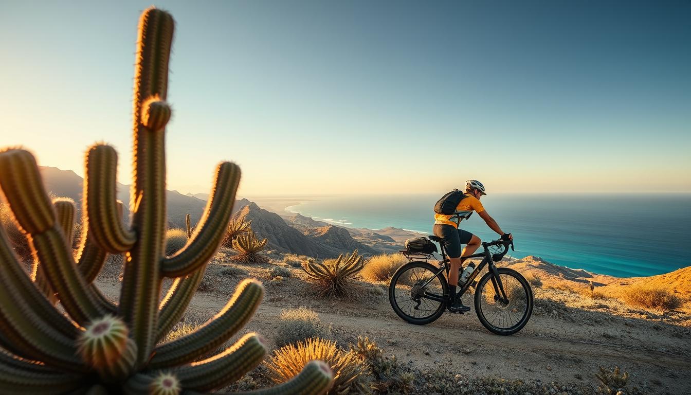
10. Baja Divide
While technically starting in San Diego before crossing into Mexico, the Baja Divide deserves inclusion for its accessibility to U.S. bikepackers. This challenging route traverses the entire Baja California peninsula, offering a perfect winter escape with its mild temperatures, remote desert landscapes, and frequent ocean views.
Route Details
- Terrain: Rough dirt roads, sandy tracks, occasional pavement
- Distance: 1,700 miles (2,736 km)
- Difficulty: Expert
- Elevation Gain: 90,000 feet (27,432 meters)
- Best Season: November to March
Key Highlights
- Experience the remote desert wilderness of Baja California
- Ride along both the Pacific Ocean and Sea of Cortez
- Visit historic Spanish mission sites
- Encounter unique desert flora and fauna
- Experience Mexican hospitality in small fishing villages
Ready for an international adventure just across the border? Get the Baja Divide route data.
Download GPX FileEssential Gear for All Bikepacking Adventures
Regardless of which route you choose, certain gear items are essential for any bikepacking adventure. Here are our top recommendations for versatile equipment that will serve you well across all terrains.
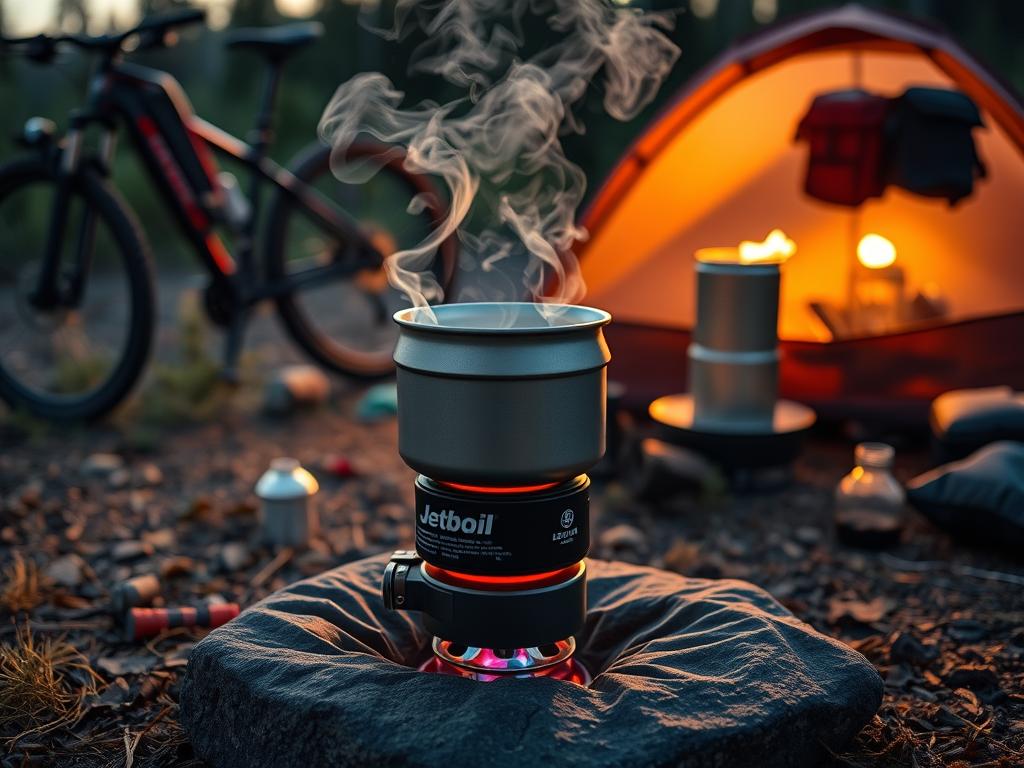
Jetboil Flash Cooking System
After a long day in the saddle, hot food and drinks are essential for recovery. The Jetboil Flash boils water in just 100 seconds while using minimal fuel, making it perfect for bikepacking where weight and space are at a premium. Its integrated design keeps everything compact and secure during transit.
- Boils 1 liter in 100 seconds
- Weighs just 13.1 oz (371g)
- Push-button igniter
- Color-changing heat indicator
Brooks C17 Cambium All Weather Saddle
Comfort is paramount when spending long days in the saddle. The Brooks C17 Cambium offers the legendary comfort of Brooks saddles in a weatherproof, maintenance-free package. Its vulcanized rubber construction with organic cotton top provides immediate comfort without break-in time, while standing up to all weather conditions.
- Weatherproof and maintenance-free
- No break-in period required
- Flexible for all-day comfort
- Compatible with saddlebags
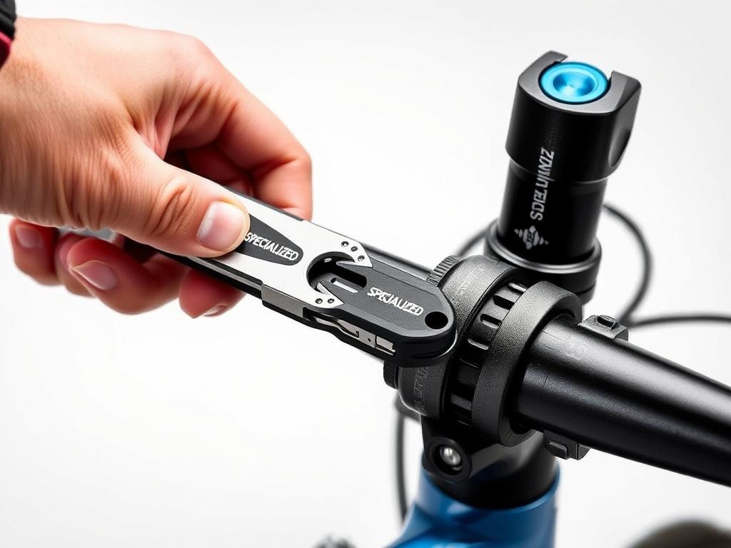
Specialized SWAT Conceal Carry MTB Tool
Mechanical issues are inevitable on long bikepacking routes. The Specialized SWAT tool provides essential tools in an ingeniously compact package that stores inside your bike's steerer tube. With hex wrenches, Torx bits, and a chain tool, you'll be prepared for most trailside repairs without adding bulk to your bags.
- Stores inside fork steerer tube
- Includes chain tool and spoke wrench
- Multiple hex and Torx bits
- Weighs just 3 oz (85g)
Begin Your Bikepacking Adventure Across the U.S.
From the rugged mountains of the West to the rolling hills of New England, the United States offers an incredible diversity of bikepacking experiences. Whether you're a seasoned bikepacker looking for your next challenge or a newcomer eager to embark on your first multi-day adventure, there's a route waiting for you.
Remember that proper preparation is key to a successful bikepacking trip. Study your chosen route thoroughly, prepare for the specific challenges it presents, and invest in quality gear that will enhance your experience and safety. Most importantly, embrace the journey—bikepacking is as much about the unexpected discoveries and connections made along the way as it is about reaching your destination.
Have you ridden any of these routes or do you have questions about bikepacking across the U.S.? Share your experiences or inquiries in the comments below. Happy trails!


